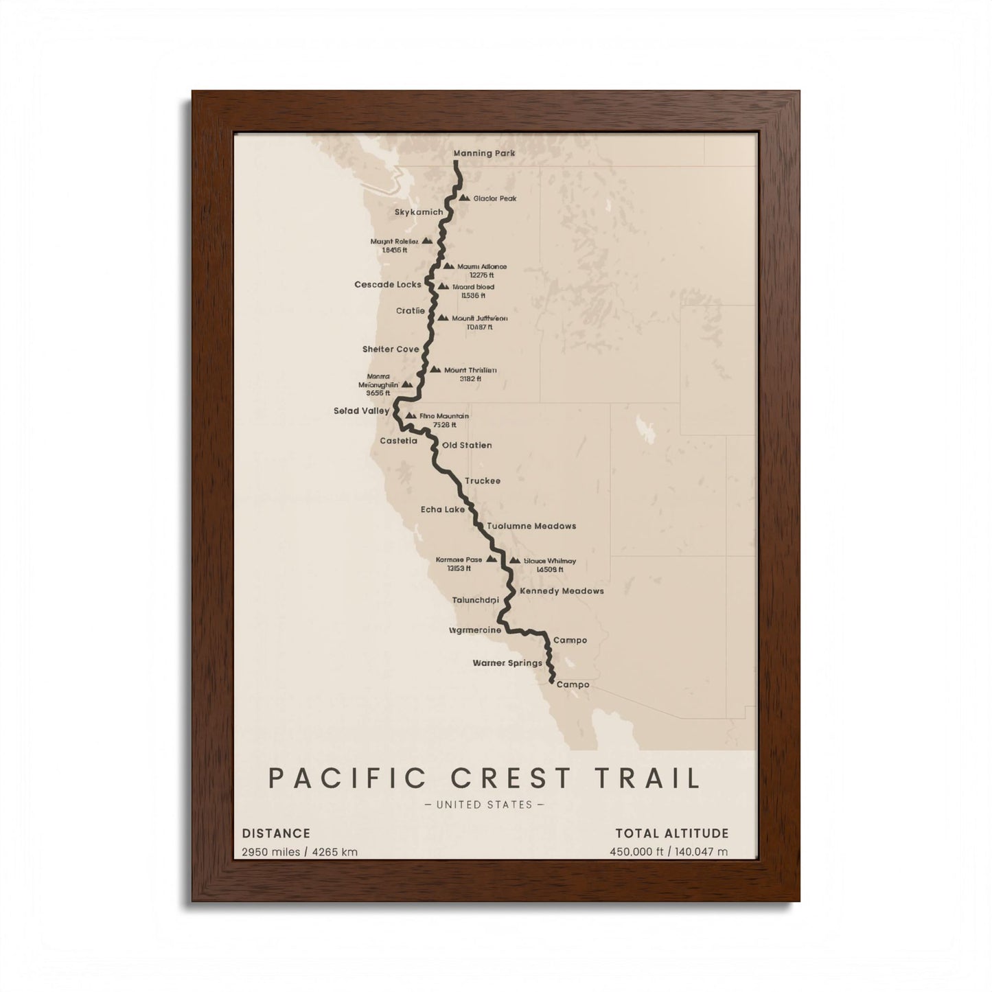
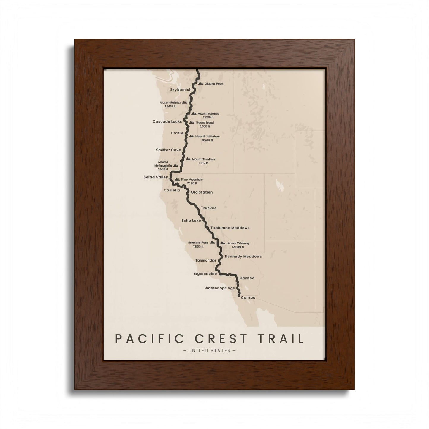
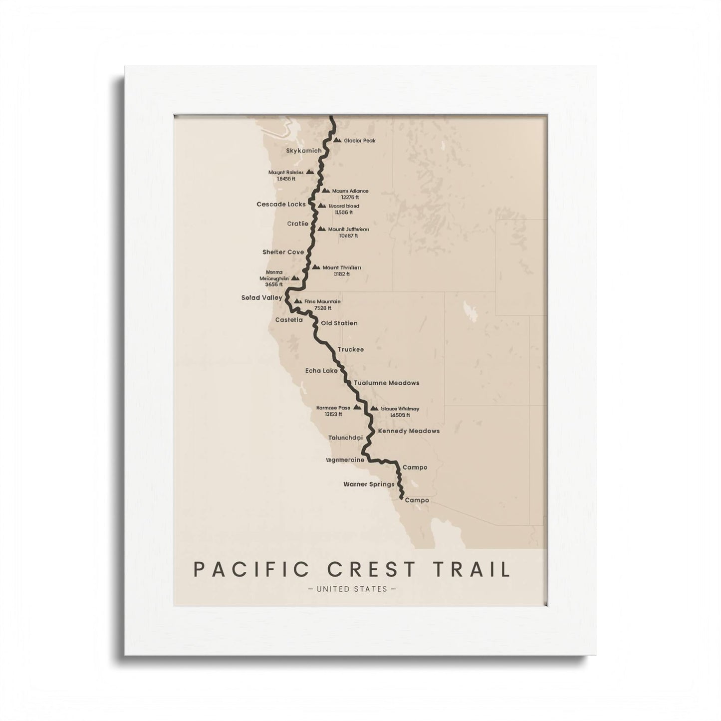
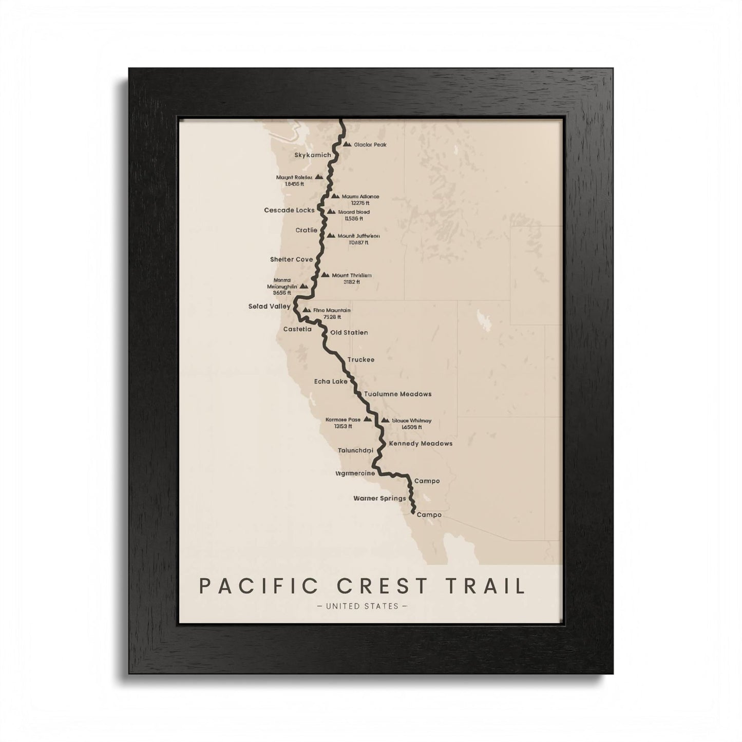
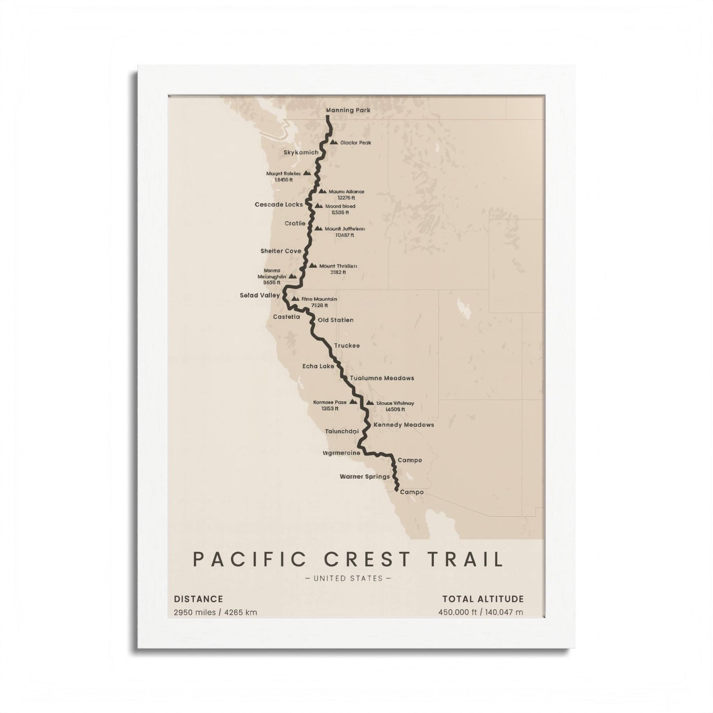
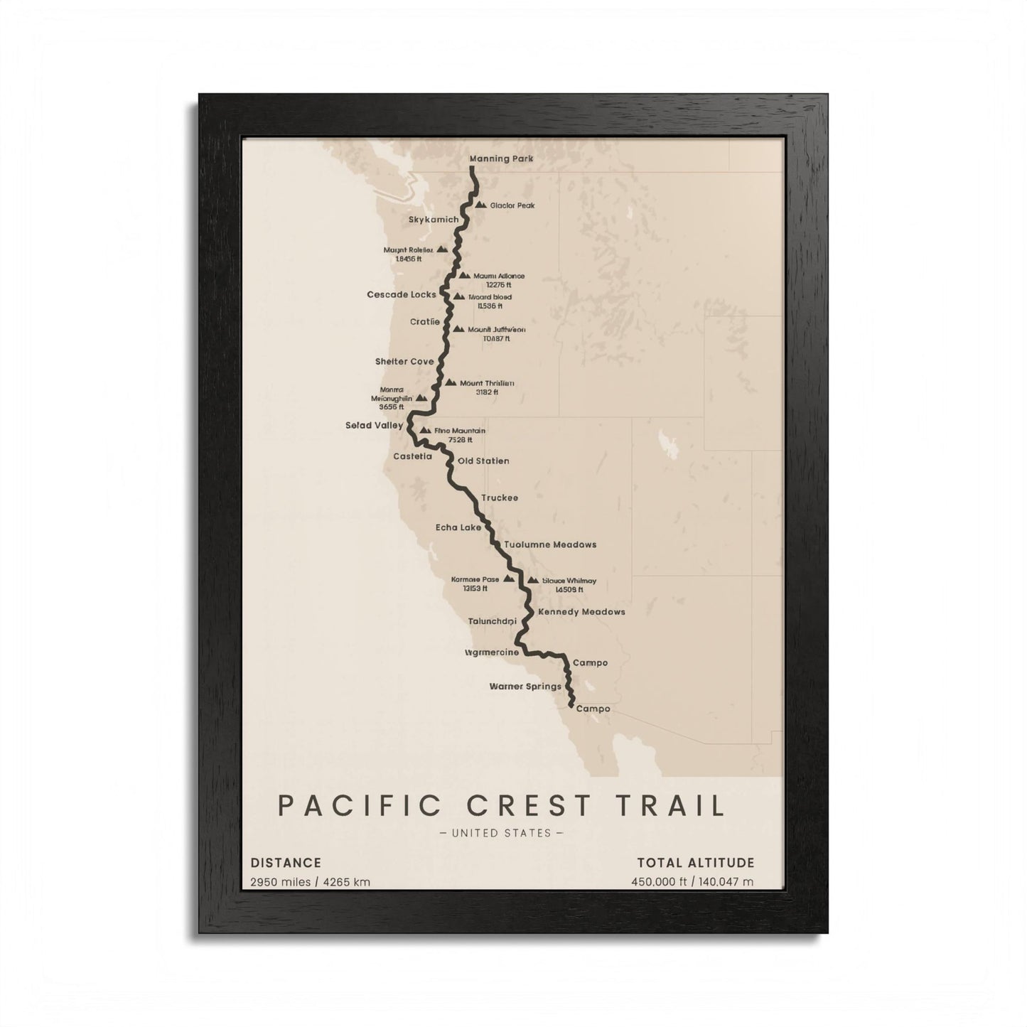
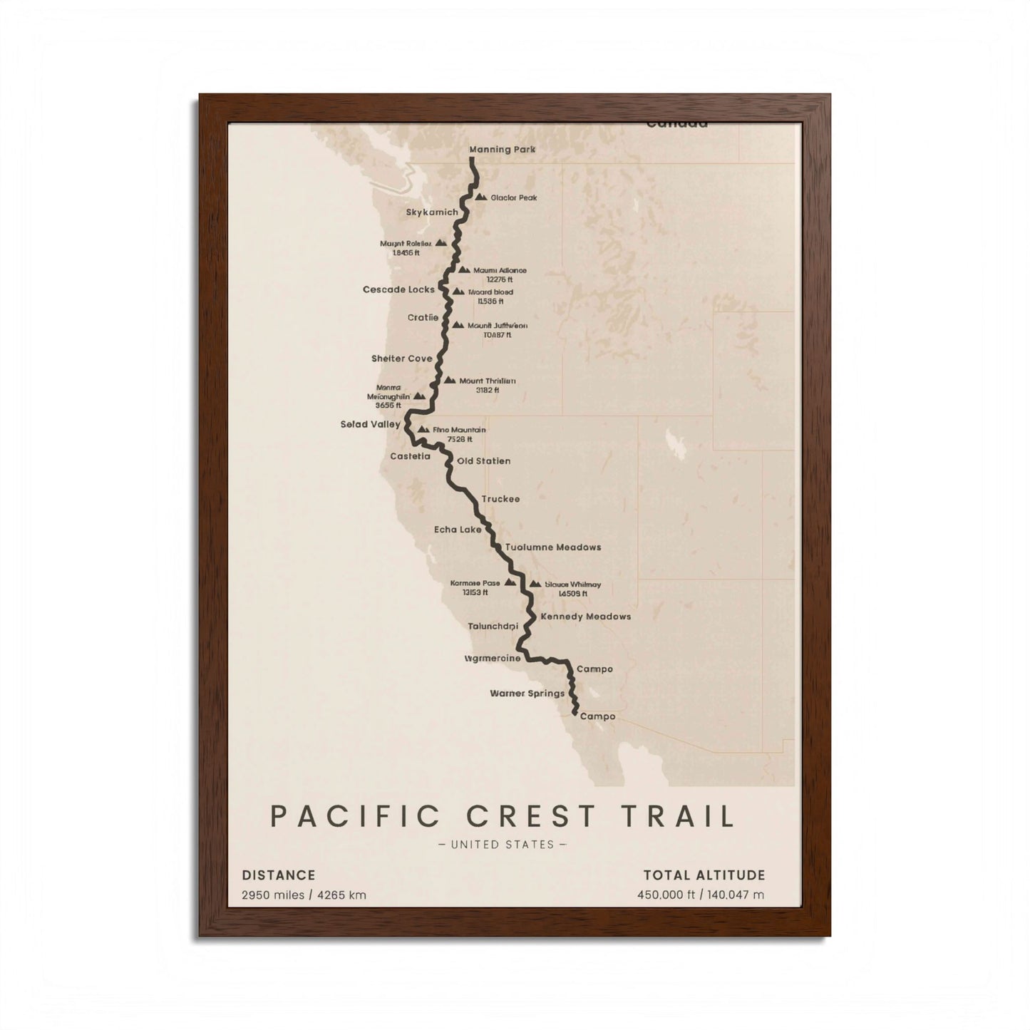
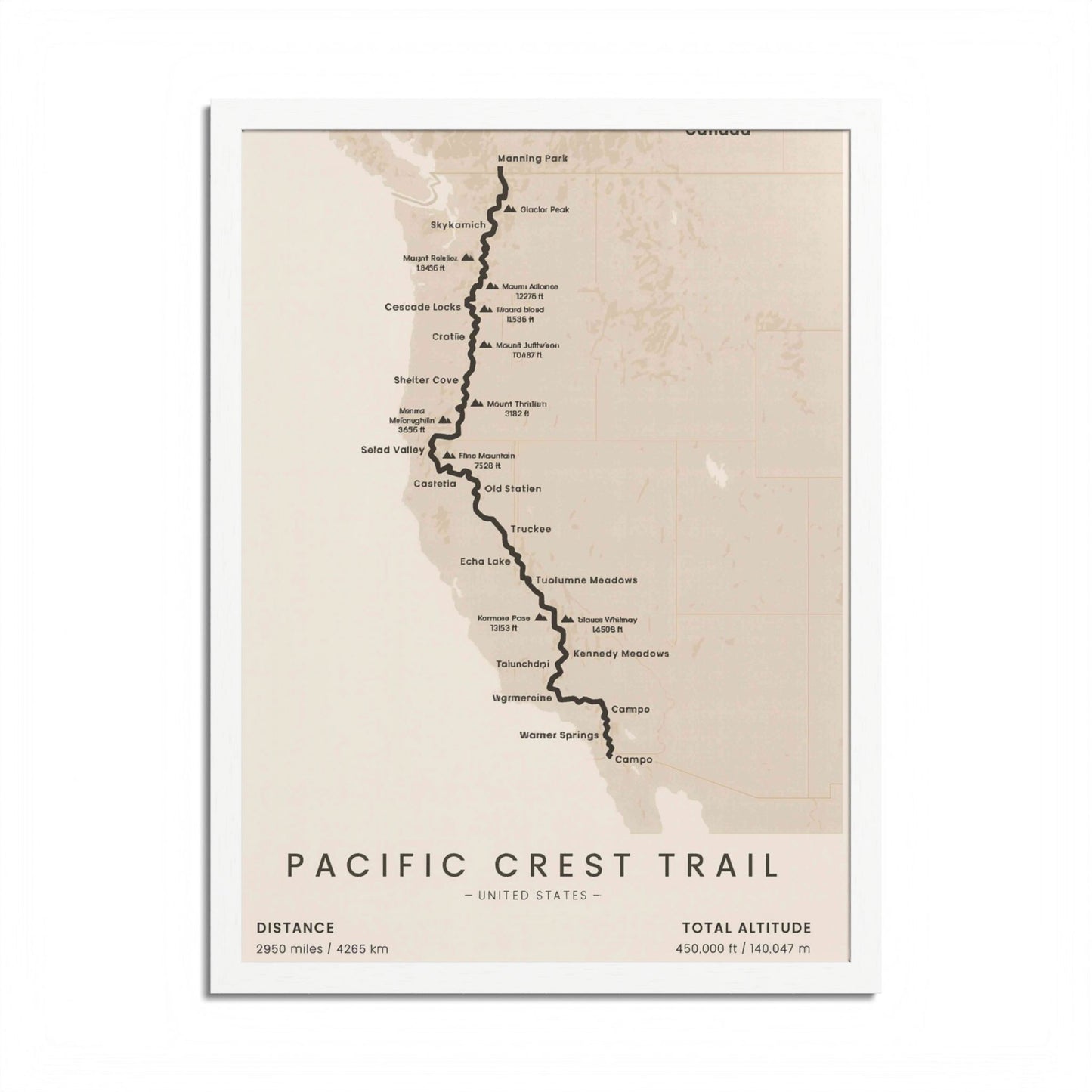
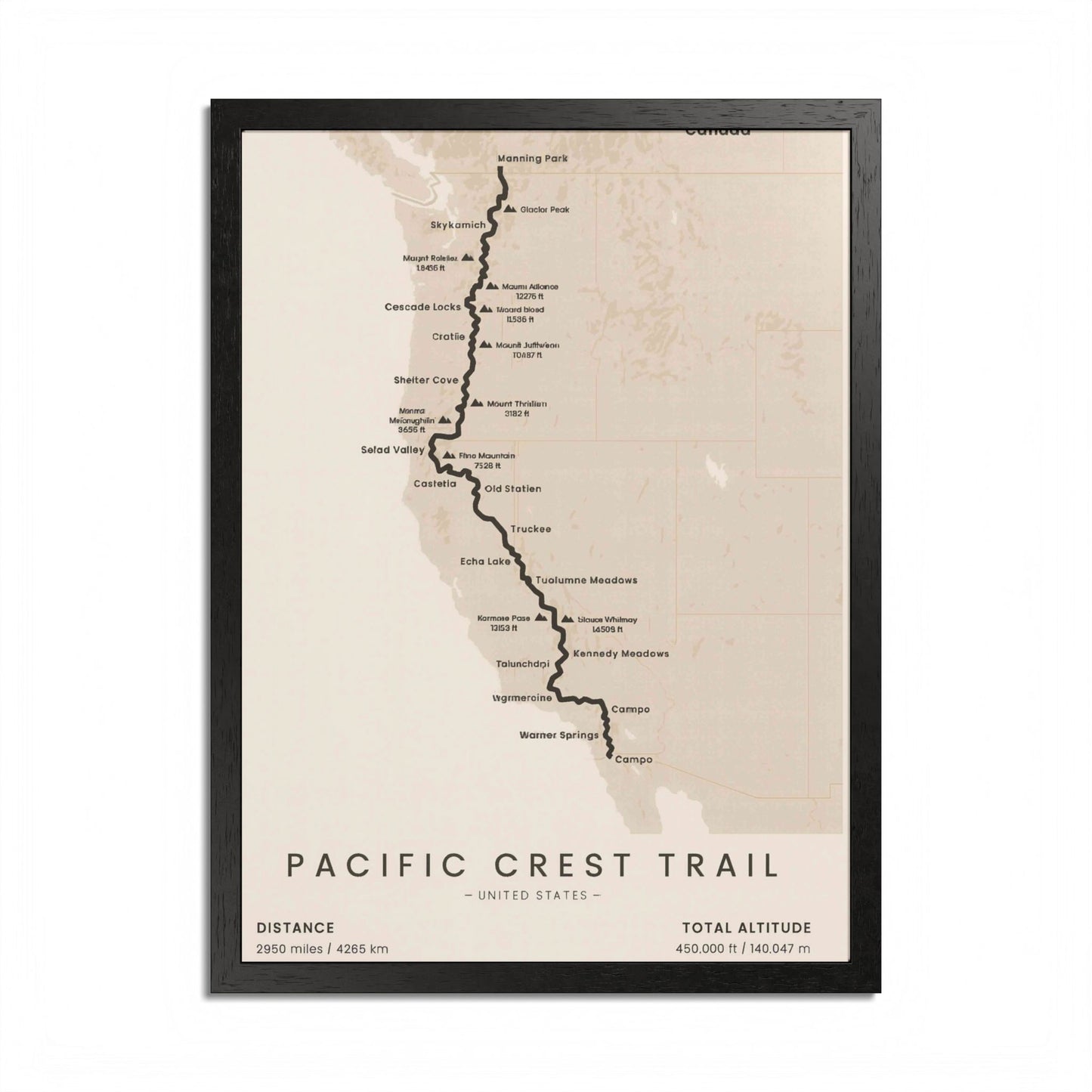
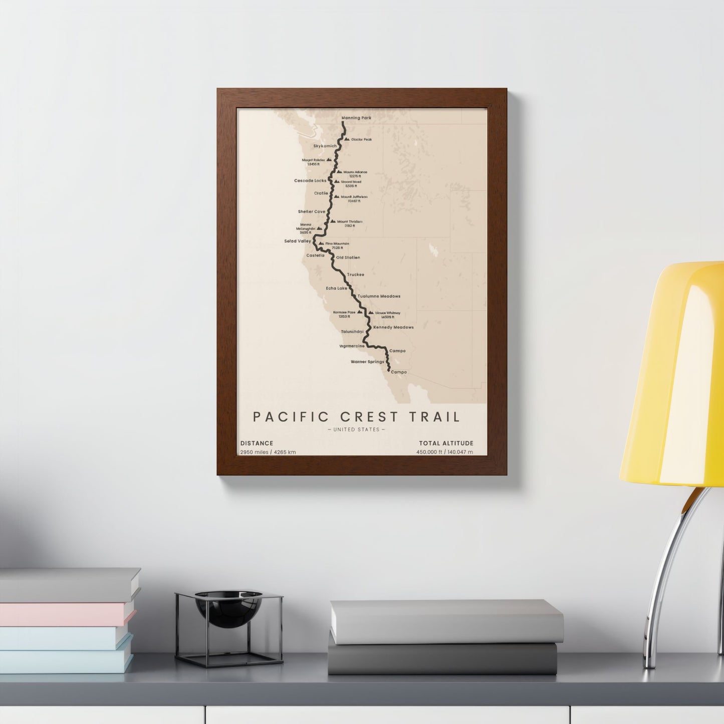
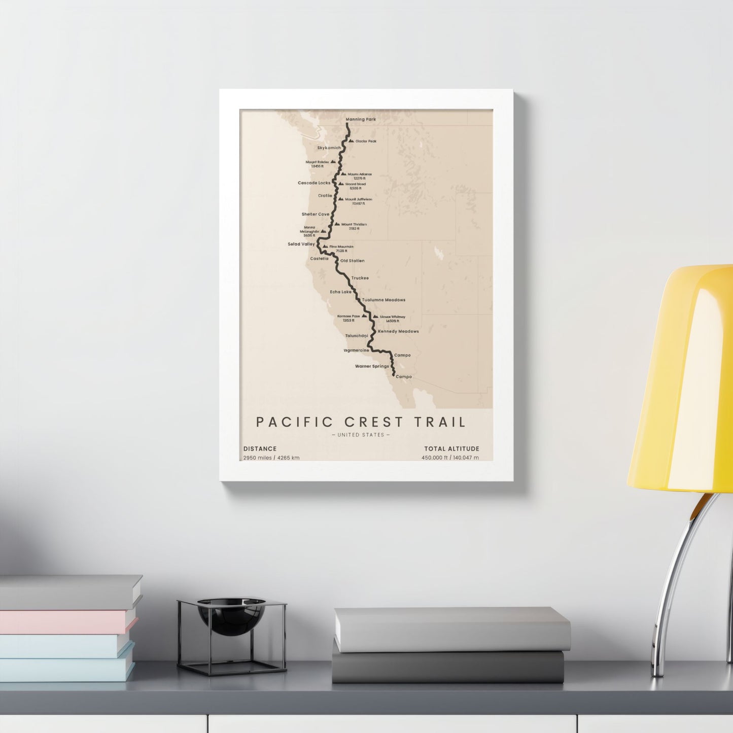
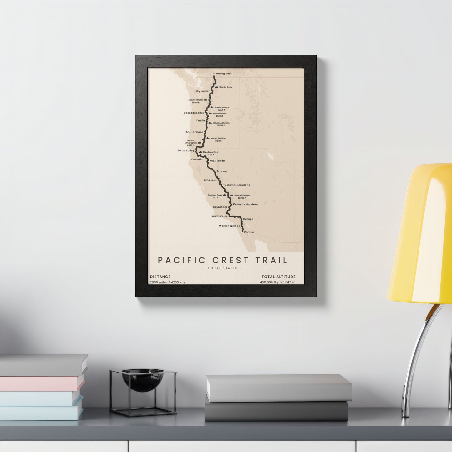
Honor the epic Pacific Crest Trail with a minimalist route map designed for hikers, backpackers, and dreamers planning their thru-hike. The bold trail line runs the spine of the West from Campo at the Mexican border to Manning Park in Canada, with iconic waypoints labeled along the way—Warner Springs, Kennedy Meadows, Tuolumne Meadows, Truckee, Skykomish, and more. Clean typography and a soft topo backdrop keep the focus on the journey while fitting seamlessly into modern, rustic, or Scandinavian décor.
Specs
-
Distance: 2,950 miles / 4,265 km
-
Total altitude: 450,000 ft / 140,047 m
-
Printed with archival inks on premium matte or semi-gloss paper
-
Optional frames in Black, White, or Natural Oak with crystal-clear cover
-
Multiple vertical sizes for office, hallway, or gear room
Why hikers love it
-
Minimal, high-contrast design that reads clearly from across the room
-
Motivating centerpiece for training walls or post-hike celebration
-
A thoughtful gift for hikers, backpackers, and PCT finishers
How to order
Choose your size, paper finish, and (if desired) frame color from the options. Each print is made to order and arrives ready to hang or gift.
Bring the PCT indoors and celebrate every mile from Campo to Manning Park.
Product features
- Vibrant colors for an eye-catching display.
- Ready to hang with included hanging kit.
- Made from high-quality 200 gsm semi-gloss coated paper.
- Available in both horizontal and vertical orientations.
- Hand-crafted wooden frame for a premium finish.
Care instructions
- If the poster does gather any dust, you may wipe it off gently with a clean, dry cloth.